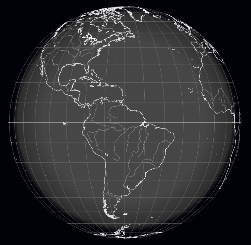
File:Earth mapped.png
Original file (800 × 783 pixels, file size: 254 KB, MIME type: image/png)
2021: Google Earth Can Track Climate Changes
GreenPolicy360: For over 5 decades, beginning with visionary earth science from space missions in 1960s and 70s, the possibilities for tracking, measuring and monitoring earth's systems have exponentially improved. Today, as we enter the 2020s, many new and critically essential earth imaging, earth observation, and atmospheric science tools, combined with decades of data, baselines and trendlines, dynamic changes, are now usable by scientists in ways the visionaries (such as George Brown) hoped would be gathered and become scientific reality. Applications (APIs in current nomenclature) have, at a crucial moment in history, become available for the nations of the world. We, at GreenPolicy360, continue our decades of work on this green, environmental and political front. Our hope is soon to launch a new project, an open-source, easily accessible database of climate-related green best practices, a go-to hub of nationally determined plans, pledges and promises being advanced to deal with climate change. We believe, as stated since our start up, that sharing green best practices, i.e., turning ripples into waves in a physics of peace and positive change, is an effective strategy in our common era when positive change is demanded. #ClimateCrisis #GreenPolicy360 #StrategicDemands

○
File history
Click on a date/time to view the file as it appeared at that time.
| Date/Time | Thumbnail | Dimensions | User | Comment | |
|---|---|---|---|---|---|
| current | 13:49, 29 January 2022 | | 800 × 783 (254 KB) | Siterunner (talk | contribs) |
You cannot overwrite this file.
File usage
The following 3 pages use this file:
- Country
- Maps
- Additional Website Resources - Linked Data - Green Best Practices
- Air Quality
- Air Pollution
- Aquifers
- Atmospheric Science
- Biodiversity
- Citizen Science
- Clean Air
- Climate Change
- Desertification
- Digital Citizen
- Earth360
- EarthPOV
- Earth Imaging
- Earth Observations
- Earth Law
- Earth Science
- Earth Science from Space
- Earth System Science
- Ecology Studies
- Education
- Environmental Full-cost Accounting
- Environmental Protection
- Environmental Security
- Environmental Security, National Security
- EOS eco Operating System
- Externalities
- Forest
- Forests
- Health
- Green Graphics
- Land Ethic
- New Space
- Oceans
- Permaculture
- Planet API
- Planet Citizens
- Planet Scientist
- Planet Citizens, Planet Scientists
- Planetary Science
- Population
- Strategic Demands
- Sustainability
- Sustainability Policies
- ThinBlueLayer
- Virtual Earth
- Virtual Planet
- Water
- Whole Earth
- Biogeosciences
- Cryosphere
- Geology
- Geophysics
- Geophysics and Geochemistry
- Hydrology
- Mineralogy
- Natural Resources
- Ocean Science
- Space Science and Space Physics