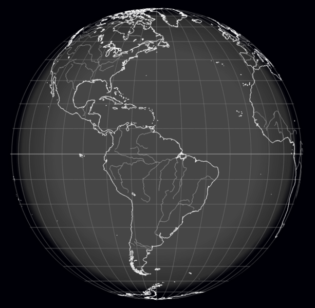
File:Earth mapped.png
Jump to navigation
Jump to search

Size of this preview: 613 × 600 pixels.
Original file (800 × 783 pixels, file size: 254 KB, MIME type: image/png)
File history
Click on a date/time to view the file as it appeared at that time.
| Date/Time | Thumbnail | Dimensions | User | Comment | |
|---|---|---|---|---|---|
| current | 13:49, 29 January 2022 |  | 800 × 783 (254 KB) | Siterunner (talk | contribs) |
You cannot overwrite this file.
File usage
The following 4 pages use this file:
Categories:
- Country
- Maps
- Additional Website Resources - Linked Data - Green Best Practices
- Air Quality
- Air Pollution
- Aquifers
- Atmospheric Science
- Biodiversity
- Citizen Science
- Clean Air
- Climate Change
- Desertification
- Digital Citizen
- Earth360
- EarthPOV
- Earth Imaging
- Earth Observations
- Earth Law
- Earth Science
- Earth Science from Space
- Earth System Science
- Ecology Studies
- Education
- Environmental Full-cost Accounting
- Environmental Protection
- Environmental Security
- Environmental Security, National Security
- EOS eco Operating System
- Externalities
- Forest
- Forests
- Health
- Green Graphics
- Land Ethic
- New Space
- Oceans
- Permaculture
- Planet API
- Planet Citizens
- Planet Scientist
- Planet Citizens, Planet Scientists
- Planetary Science
- Population
- Strategic Demands
- Sustainability
- Sustainability Policies
- ThinBlueLayer
- Virtual Earth
- Virtual Planet
- Water
- Whole Earth
- Biogeosciences
- Cryosphere
- Geology
- Geophysics
- Geophysics and Geochemistry
- Hydrology
- Mineralogy
- Natural Resources
- Ocean Science
- Space Science and Space Physics

