Earth Imaging-New Space: Difference between revisions
Siterunner (talk | contribs) No edit summary |
Siterunner (talk | contribs) No edit summary |
||
| Line 1: | Line 1: | ||
<big><big><big><big>[[New Space]]</big></big></big></big> | ::<big><big><big><big>[[New Space]]</big></big></big></big> | ||
Revision as of 21:09, 28 May 2020
- ··········································································
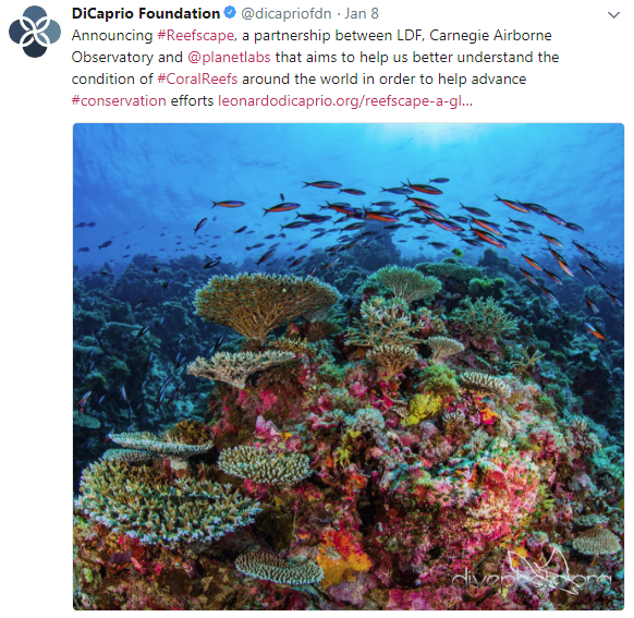
PlanetLabs / Planet API / Bioneer Leonardo DiCaprio join up with #Earth Vision
- Reefscape, Another New Way to View, Watch Over & Care for Our Common Home
- ··········································································
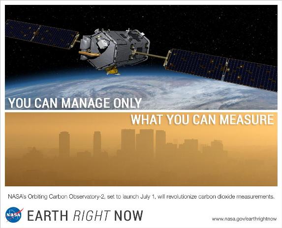
Methane, We're Watching
- Detecting methane from space
- "There has been quite a buzz around this unique advancement in space, and the valuable data it will provide on methane, a powerful greenhouse gas that accounts for a quarter of the warming our planet is experiencing today. Curbing anthropogenic methane emissions is one of the most efficient and economical options available to slow the rate of warming over the next few decades, while efforts continue to reduce CO2 emissions worldwide."
- The Environmental Defense Fund (EDF) is planning to be the first environmental group to send its own satellite into space.
- “We need good solid data so that we really can support global action on climate change, and we’ve got to do it fast,” says Steven Hamburg, the EDF’s chief scientist.
- The most detailed measurements currently available of atmospheric methane concentrations currently come from a sensor aboard the European Space Agency’s Sentinel-5P spacecraft, which launched in October 2017. The Tropospheric Monitoring Instrument provides global coverage at a resolution of nearly 50 square kilometres, but those measurements do not capture the dispersed sources of emissions from oil and gas fields.
- Commercial firms have developed high-resolution sensors that can be placed aboard 10-centimetre-sided CubeSats to measure emissions from individual wells or other facilities. Those data are proprietary, however, and the measurements cannot be scaled up to the level of an entire oil and gas field.
- The Environmental Defense Fund team is designing MethaneSAT to provide more-precise measurements, at a resolution of 1 square kilometre, with global coverage at least once a week.
- Earth Science from Space
- New Ways to See & Take 'Earth Action'
- ○ ○ ○ ○ ○ ○ ○
- ○ ○ ○ ○ ○ ○
Planet Labs is now just 'Planet'
Announcement - June 12, 2016
An API for the Planet #PlanetLabs
- Open Source Conference keynote API / An Open Sourced Discovery
Mission: Democratizing Access to Information About the Changing Planet
Planet Labs, newly deployed Doves
Launch of new Flock of Dove Satellites to Image Earth
"Rapid cadence imagery, like Planet Labs is developing, helps us become better, more sustainable stewards of Earth."
Via the NYT ... Investing in Earth Imaging
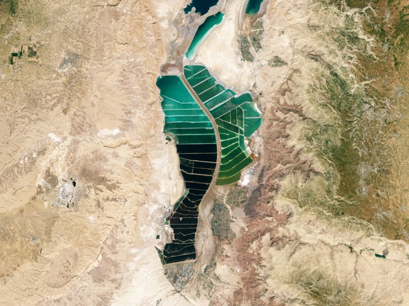
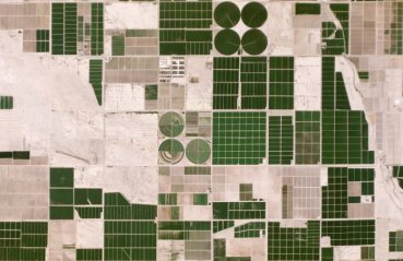
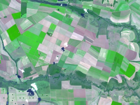
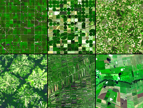
Visit Planet's Earth Images Gallery
○
Earth Imaging: Eyes in the Sky, Monitoring the Earth by Satellite
2014 / 2013
NextGen #EarthScience in an era of #climatechange and #globalsecurity threat
New Space startups to watch (our eyes are especially on "Planet Labs")
- BlackBridge -- http://www.blackbridge.com/
- Dauria -- http://dauriaspace.com/DigitalGlobe
- DigitalGlobe -- https://www.digitalglobe.com/]
- DigitalGlobe, highest rez commercially avail #earthimaging from space [1] [2] [3]
- GeoEye -- http://en.wikipedia.org/wiki/GeoEye [4]
- Firefly Space Systems -- http://www.fireflyspace.com/ [5]
- GeoOptics -- http://geooptics.com/
- NanoRacks -- http://nanoracks.com/ [6] [7]
- NovaWurks -- http://www.novawurks.com/index.html
- OmniEarth [http://www.marketwatch.com/story/omniearth-announces-partnership-to-create-global-satellite-constellation-and-extensive-hosted-payload-opportunity-2014-05-20 [8] [9],
- OrbitLogic -- http://www.orbitlogic.com/
- PlanetiQ -- http://www.planetiq.com/
- Planet Labs -- http://www.planet.com/ Pulse [10] [11] [12]
- Skybox -- http://arstechnica.com/business/2014/06/google-buys-satellite-imaging-company-skybox-for-500-million/ [13] [14]
- Teledyne --http://www.tbe.com/
- Tyvak Nano-Sat -- http://tyvak.com/
- Urthecast -- http://www.urthecast.com/
New Space
“With all these start-ups, the things you’ll be able to do with satellite images will grow exponentially.” - IEEE-May 2014
Moving from almost exclusively multi-billion dollar military/defense-communication satellite operations to nextgen 'small cap' startups and 'New Space' ventures and applications with earth systems monitoring, resources, sustainable business, and low-earth orbit.
○
EarthPOV
Here's looking at us -- EarthPOV.com
What's Your Hashtag? #PlanetCitizen
○
- California
- Democratization of Space
- Digital Citizen
- Earth Imaging
- Earth Observations
- Earth Science
- Earth Science from Space
- Eco-nomics
- Environmental Security
- Environmental Security, National Security
- Global Security
- NASA
- New Space
- Planet Citizen
- Planet Scientist
- Planet Citizens, Planet Scientists
- Whole Earth
- Atmospheric Science
- Biogeosciences
- Climate Change
- Cryosphere
- Geophysics and Geochemistry
- Mineralogy
- Geology
- Geophysics
- Hydrology
- Natural Resources
- Ocean Science
- Oceans
- Planetary Science
- Space Science and Space Physics
- Strategic Demands
- Earth360
- EarthPOV
- ISS
- Micro-satellites
- NanoRacks
- Planet API
- PlanetLabs
