EarthPOV: Difference between revisions
Siterunner (talk | contribs) No edit summary |
Siterunner (talk | contribs) No edit summary |
||
| Line 29: | Line 29: | ||
● [https://www.nasa.gov/feature/goddard/2017/nasa-makes-an-epic-update-to-website-for-daily-earth-pics '''''NASA Makes an EPIC Update to Website for Daily Earth Pics'''''] | ● [https://www.nasa.gov/feature/goddard/2017/nasa-makes-an-epic-update-to-website-for-daily-earth-pics '''''NASA Makes an EPIC Update to Website for Daily Earth Pics'''''] | ||
[[File:NASA-DSCOVR and GreenPolicy360-July2016.png]] | |||
Revision as of 14:52, 17 October 2017
New Ways of Seeing, Inward & Outward
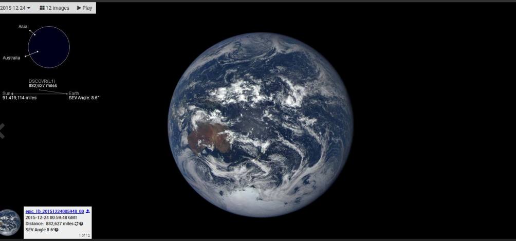
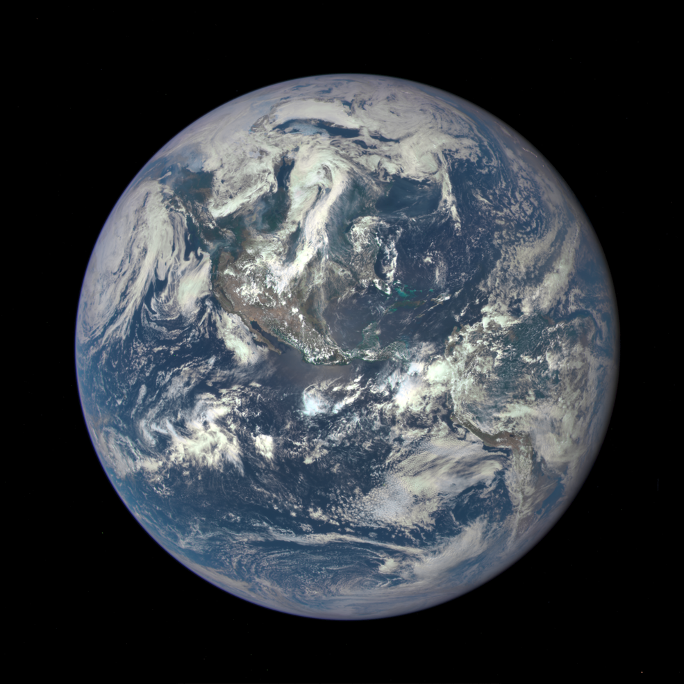
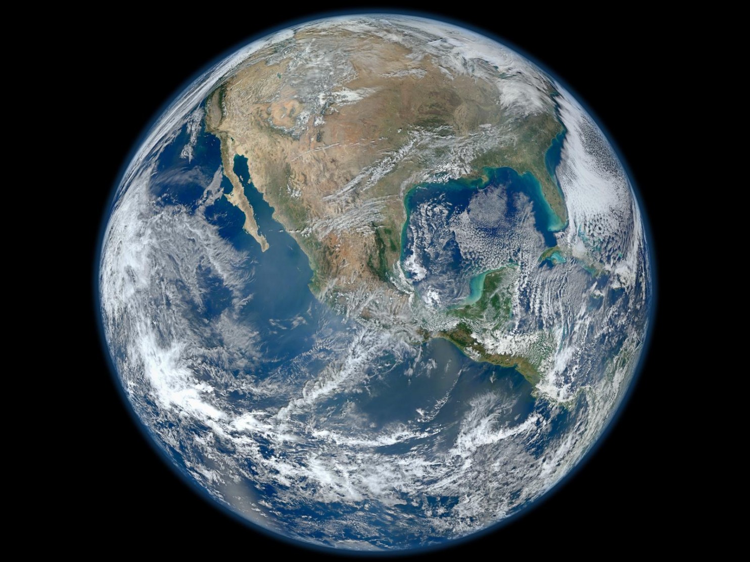
- Images of Earth from DSCOVR-EPIC in Lagrange orbit, a 'selfie' taken from a million miles away
○ ○ ○ ○ ○ ○ ○ ○ ○ ○ ○ ○ ○ ○ ○ ○ ○ ○ ○ ○ ○ ○ ○ ○ ○ ○ ○ ○ ○ ○ ○ ○ ○ ○ ○
● NASA Makes an EPIC Update to Website for Daily Earth Pics
Daily Views of Earth Available on New NASA Website
- The Ultimate "Big Picture"
○ ○ ○ ○ ○ ○ ○ ○ ○ ○ ○ ○ ○ ○ ○ ○ ○ ○ ○ ○
- #Earth360 Updates
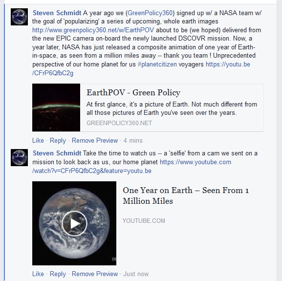
In 2015, our PlanetCitizen website will be assisting in delivering NASA/NOAA DSCOVR/EPIC data and imagery
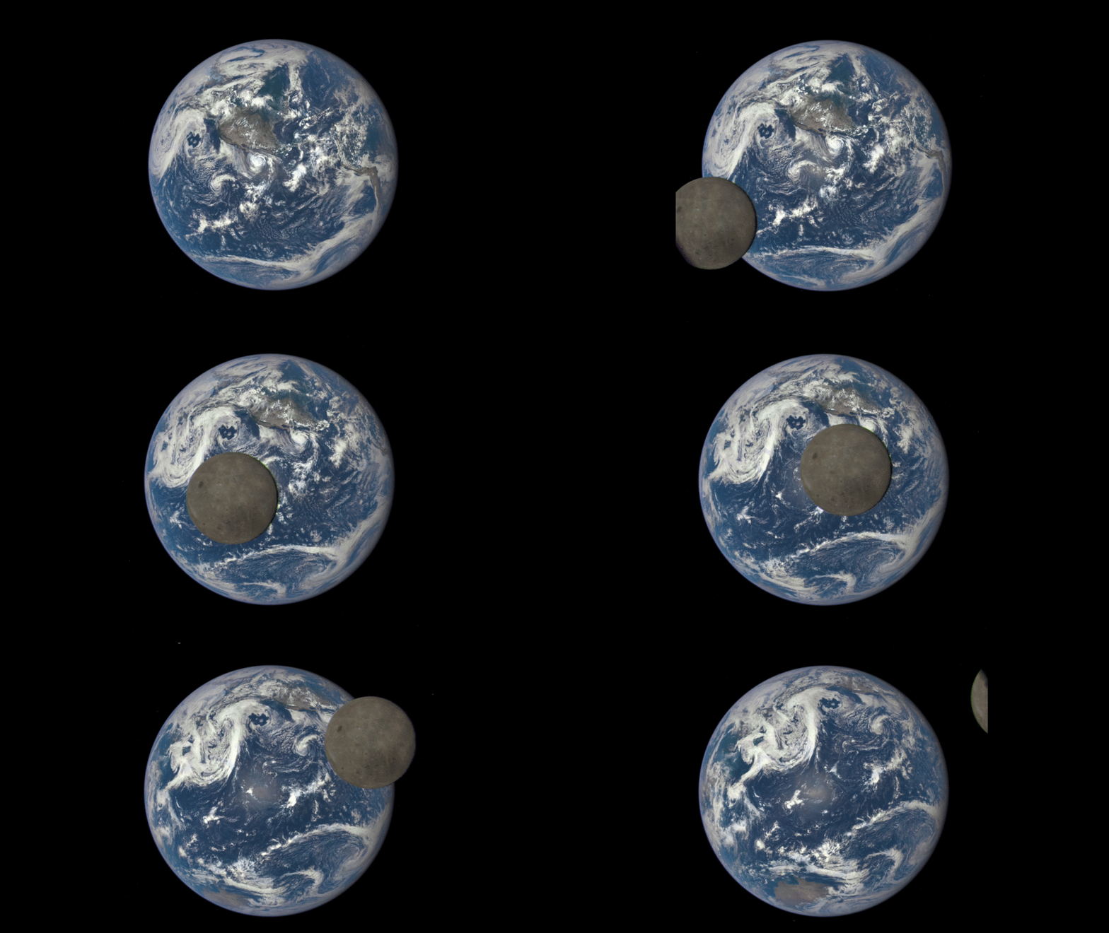
From one million miles away... NASA Earth Polychromatic Imaging Camera (EPIC) camera aboard the Deep Space Climate Observatory (DSCOVR) satellite captures a unique view of the moon as it moves in front of the sunlit side of Earth in July 2015. This “dark side” of the moon is never visible from Earth...
○
In addition to a NASA DSCOVR/EPIC website in development and a selection of #Earth360 images planned available online daily beginning in August, there will be unprecedented accompanying data/imagery made avail for #EarthScience and climate/atmospheric monitoring.
The following is from a NASA Goddard communication, March 11th to GreenPolicy discussing additional calibrated data products to come from DSCOVR...
>The individual 10 different wavelength EPIC data will be served from the Atmospheric Science Data Center (ASDC) at Langley (https://eosweb.larc.nasa.gov) Once we will be active, on the left side of this page DSCOVR will appear as a project. Clicking on it will give you a list of available products...
The DSCOVR satellite with its EPIC cam, PlasMag & NISTAR instrument package... is on a million mile journey and in approx four months, DSCOVR will "light up", be tested, and begin delivering data to Earth. In its historic mission, DSCOVR and its EPIC imaging system will begin sending near real-time images of the whole Earth... it has been many years since whole Earth images have been readily available...
○
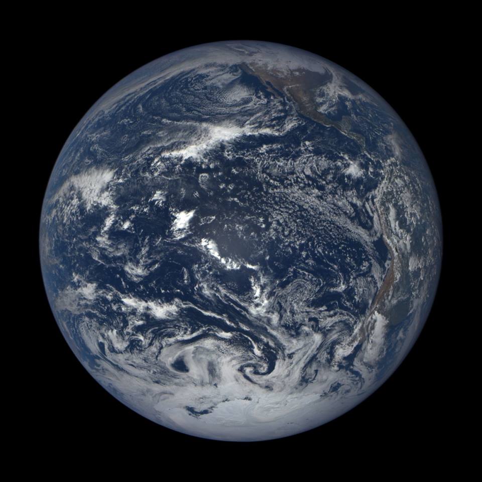
At first glance, it's a picture of Earth. Not much different from all those pictures of Earth you've seen over the years.
That is, until you realize that most of the pictures of Earth you've seen over the years have been the same photograph...
- the “Blue Marble” taken by Apollo 17 astronauts in 1972, more than four decades ago... - NYT / Sept
Earthviews — Celebrating Earth's Beauty —
Earth from Orbit — Visualize from NASA's Scientific Visualization Studio — Recent SVS Visualizations
- ○ ○ ○ ○ ○ ○ ○ ○ ○ ○ ○ ○ ○ ○ ○ ○ ○ ○ ○ ○ ○ ○ ○ ○ ○ ○ ○ ○ ○ ○ ○ ○ ○ ○ ○ ○ ○ ○ ○ ○ ○ ○ ○ ○ ○ ○ ○ ○ ○ ○ ○ ○ ○ ○ ○ ○ ○ ○ ○ ○ ○ ○ ○ ○ ○ ○
An Earth Point of View
With VR, I can see for miles and miles and miles and miles and miles
○ ○ ○ ○ ○ ○ ○ ○ ○ ○ ○ ○ ○ ○
An AstroPOV
○
Astronaut Scott Kelly / CNN / 2015
Dr. Sanjay Gupta speaks to astronaut Scott Kelly about his record-setting mission in space.
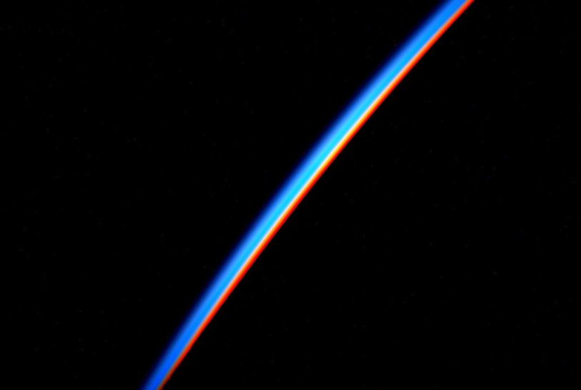
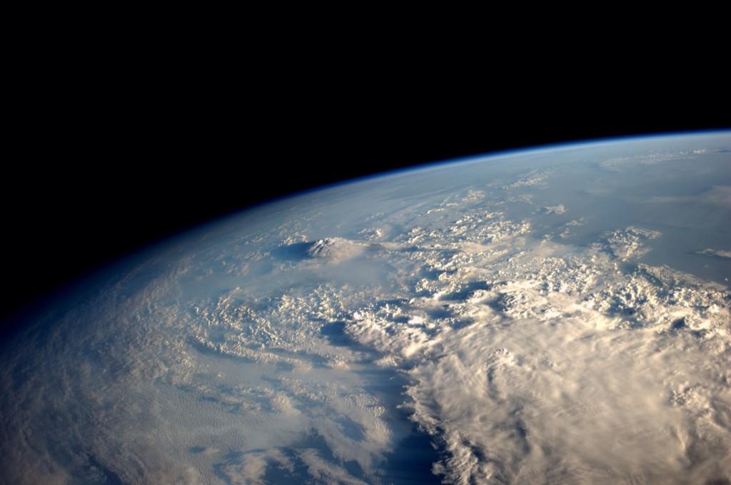
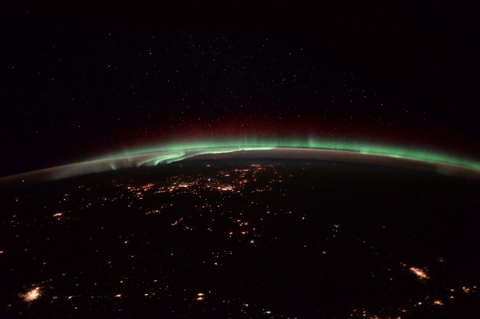
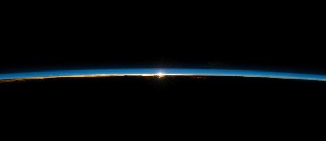
Scott Kelly speaks of a "fragile"... "thin veil" of the atmosphere around the Earth and how we have to protect it -- #ThinBlueLayer #Earth360
○
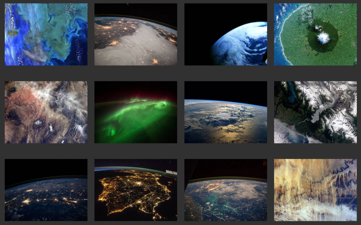
Earthviews from Astronauts and Space Travelers
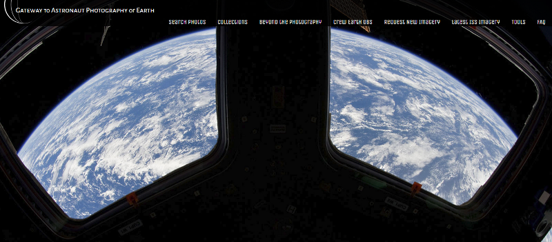
Gateway to Astronaut Photography of Earth
Hello Up There
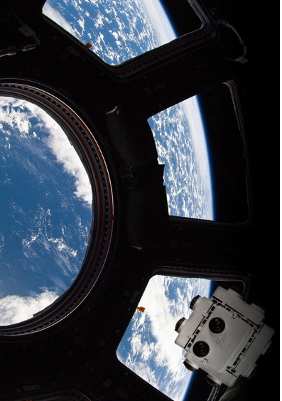
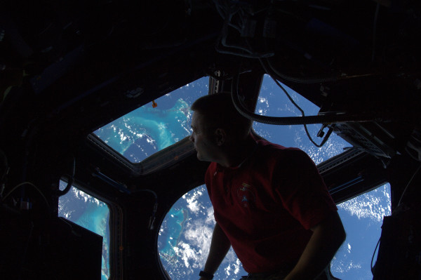
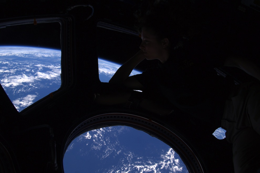
To see through the eyes of Astronauts.....
~ ~ ~ ~ ~ ~ ~ ~ ~ ~ ~ ~ ~
- To See Planet Earth
With appreciation ~ for the beauty and the wisdom of the Overview Effect
Planetary --- Planetary, pre-release, March 2015
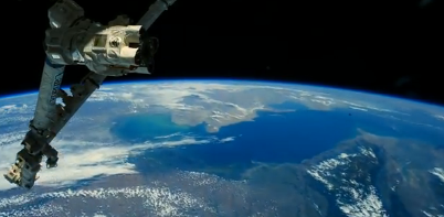
Earth360 ~ from the International Space Station
Watch Us Spin
All Alone in the Night - Settings Suggestion: FULL Screen, 1080p, lights off, volume up, lean back and fly
The View Outside My Window - FULL 1080p, lights off, volume up. Even better, go 'Original' for 2160p - HD 4K
Earth Point of View / Whole Earth Perspective
December 2014
After @Astro_Alex flies home, @AstroSamanatha flies up -- Here's one of Astronaut Samantha's first pix from the International Space Station
○
We tweeted @AstroTerry that 'yes' we wish we could see what he was seeing ;- and we updated our #OverviewEffect page w/ the astronaut's #Earth appreciation from the #ISS that he wishes we could see what he sees
○
And after arriving home from the ISS, Astro_Alex assembles these two amazing time-lapse videos from his thousands of photographs of Earth, a true #PlanetCitizen
https://www.youtube.com/watch?v=6ifjaOHHO98
○
Dec 22, 2014
https://www.youtube.com/watch?v=lNwWOul4i9Y
Watch Earth roll by through the perspective of ESA astronaut Alexander Gerst in this six-minute timelapse video from space.
Combining 12 500 images taken by Alexander during his six-month Blue Dot mission on the International Space Station this Ultra High Definition video shows the best our beautiful planet has to offer.
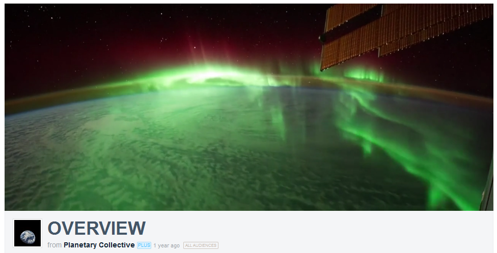
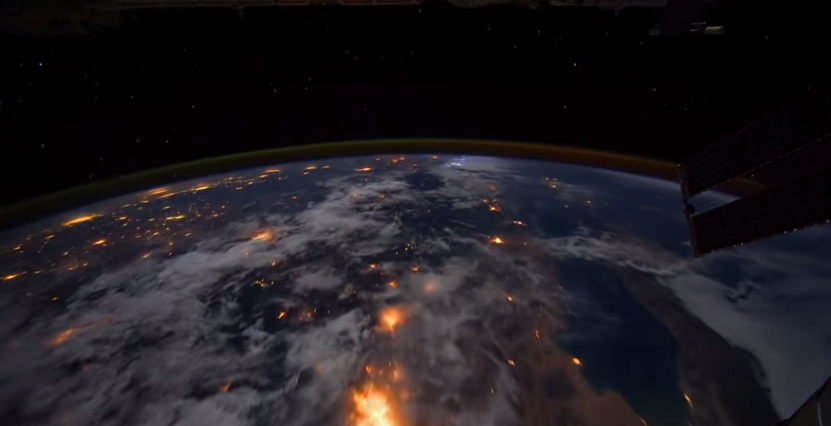
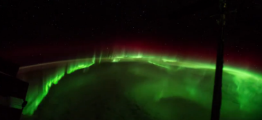
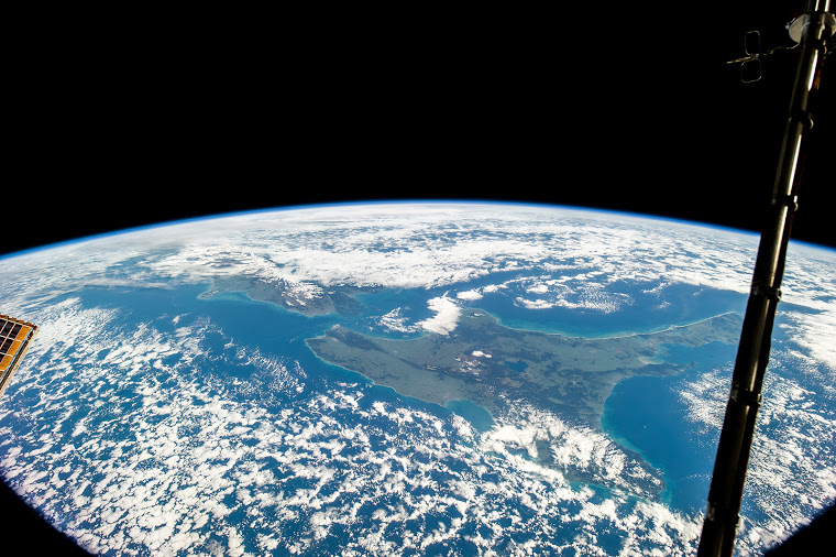
Auroras, sunrises, clouds, stars, oceans, the Milky Way, the International Space Station, lightning, cities at night, spacecraft -- and the thin band of atmosphere that protects us from space.
○
November 2014
http://www.greenpolicy360.net/mw/images/Whole_Earth_One_Connected_System_-Earth360.png
Astronauts on the way home
Circling #Earth360 before heading home [1] [2]
November 9th, ISS News
Three of our favorite astronauts return to Earth from the International Space Station.
We've been receiving many absolutely beautiful photos from them with their expressions of awe.
What they see and experience opens eyes and truly communicates here at 'home.'
Our "whole Earth" and a "narrow", "thin layer of atmosphere."
http://www.pinterest.com/stratdem/environmental-security/
How amazing it is to have 'tweets' and 'blogging' from an int'l 'bird' flying high over our blue planet.
Astronaut Alex Gerst -- Astronaut Reid Wiseman
○
GreenPolicy360: "Look at our atmosphere around the earth, twelve miles high in the troposphere..."
Seeing how thin our atmosphere is [3] [4] Atmosphere - Wiki Earth's atmosphere - #EnvironmentalSecurity
"Look at how thin our atmosphere is. This is all there is between humankind and deadly space." [5]
We are just beginning to geo-monitor our thin atmosphere and biosphere from space...
Astronaut Gerst on the thin atmospheric layer 'enabling life as we know it'...
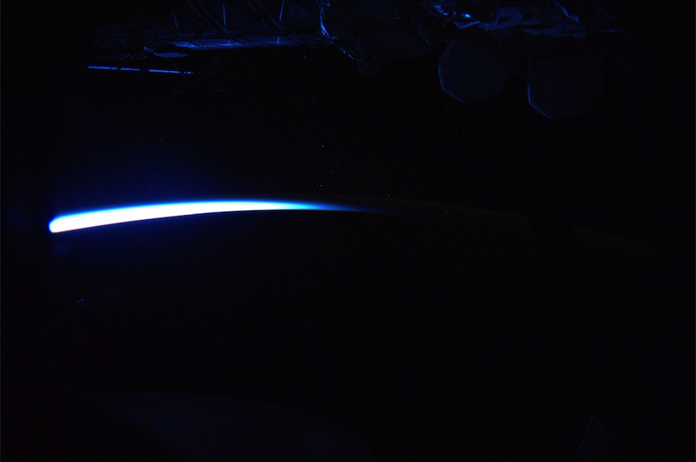
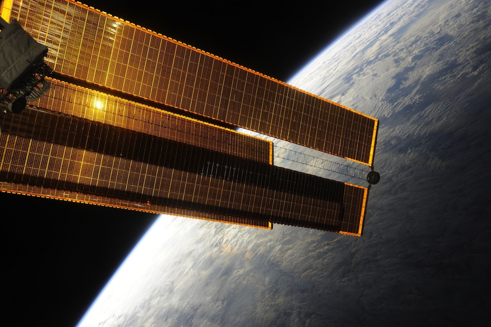
'Earthshine'... The Space Station basking in blue Earthshine as the rising sun pierces our razor-thin atmosphere to cover the Space Station with blue light.
I’ll never forget this place…seeing this makes the heart soar and the soul sing. -- Astronaut Wheelock
○ ○ ○ ○
http://www.greenpolicy360.net/w/Earth_at_Night
○ ○ ○ ○
Watching the Earth Breathe from Space [6] [7] [8] [9]
○ ○ ○ ○
December 2014
Global Warming / NASA Satellite Sends Back Most Detailed CO2 View Ever / Dec 18, 2014 04:15 PM ET
○ ○ ○ ○
1st light! OCO-2 announces their data!
August 2014
The newly launched Orbiting Carbon Observatory is now at the front of the international “Afternoon Constellation,” the “A-Train” of Earth-observing satellites in orbit. Their synchronized collection of data is a first and advances #earthmonitoring with a qualitative, quantum leap. Go we go!! Orbiting Carbon Observatory And while the A Train rolls on in the sky, maybe you'd like to listen to old but always good Duke Ellington's A Train ;-)
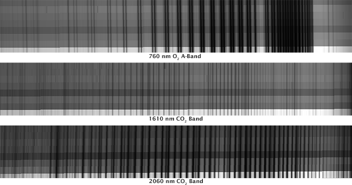
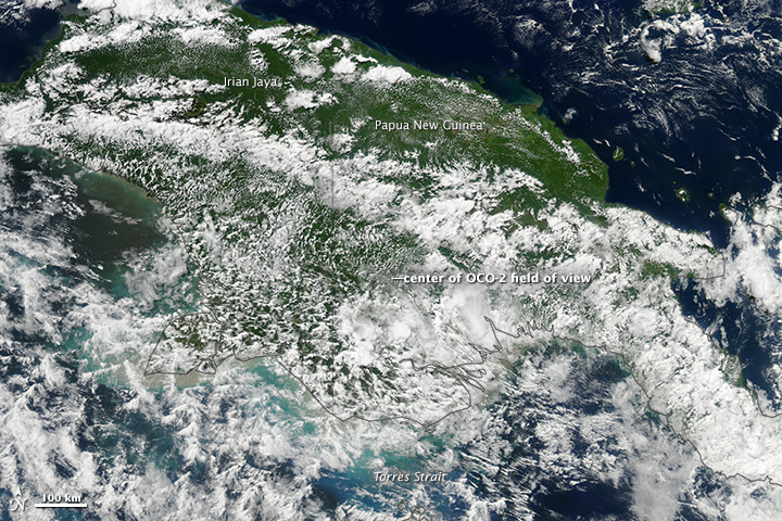
The image [spectra image below] shows some of the first data taken by OCO-2 as it flew over Papua-New Guinea forests on August 6, 2014. Each plot shows three different spectra, or wavelength, observed by the satellite’s spectrometers: 760 nanometers (atmospheric oxygen), 1610 nanometers (carbon dioxide), and 2060 nanometers (carbon dioxide).
As OCO-2 flies over Earth’s sunlit hemisphere, each spectrometer collects a frame three times per second (a total of about 9,000 frames from each orbit). Each frame is divided into eight spectra that record the amount of molecular oxygen or carbon dioxide over adjacent ground footprints, each of which is about 2.25 kilometers (1.39 miles) long and a few hundred meters wide. When displayed as an image, the spectra appear like bar codes. The dark lines indicate absorption by molecular oxygen or carbon dioxide.
“The initial data from OCO-2 appear exactly as expected; the spectra lines are well resolved, sharp, and deep,” says OCO-2 chief architect Randy Pollock of NASA’s Jet Propulsion Laboratory.
“We still have a lot of work to do to go from having a working instrument to having a well-calibrated and scientifically useful instrument, but this was an amazingly important milestone.”
To put the spectra in context, the natural-color image here shows the cloudy, forested scene below OCO-2 just minutes after it collected its data.
The color image was acquired by the Moderate Resolution Imaging Spectroradiometer (MODIS) on NASA’s Aqua satellite in the A Train orbit.
Observing Global Warming with #OCO-2 The historic launch #planetcitizen mission to study #earthsatmosphere [10] [11]
OCO-2 tweets - https://twitter.com/IamOCO2 OCO-2 announces 'We have data!'
What monitoring a potential existential crisis looks like...spectra from #OCO-2 #Earth360 [12]
Looking closer at OCO-2
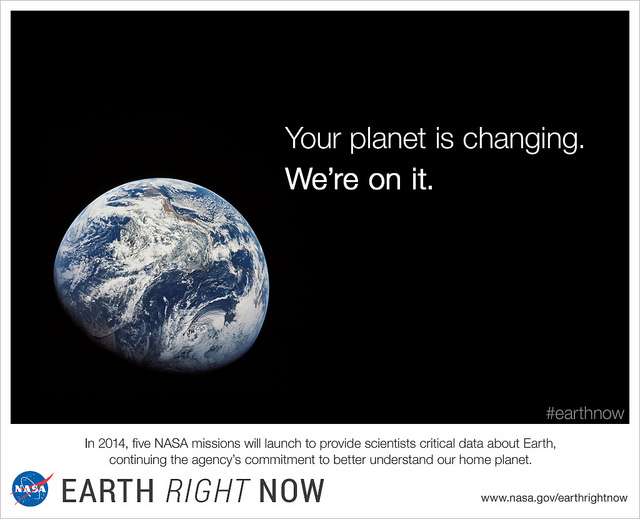
Beginning with first 'whole earth' images of our home planet, taken in the Apollo era... [13] [14]
We are now flying earth-monitoring #micro-satellites producing first-generation data and #sustainability realizations... [15]
NASA's Earth Right Now transitioning from military to environmental security...
NASA establishing itself "as a world leader in Earth science and climate studies..."
[16] [17] [18] [19] [20] [21] [22]
Scientific consensus on Climate Change [23]
-=-=-=-=-=-=-=-=-=-=-
About EarthPOV
EarthPOV's point of view re: AGW/Anthropogenic Global Warming
While the debate continues, e.g., addressing concerns of 'skeptics' on the science of climate change, the science continues to be gathered by NASA, NOAA, ESA, and the myriad educational/research organizations, New Space satellites, mapping and monitoring issues, reporting data, modeling, assembling statistics, recording temperature trends globally and locally, doing the work of #EarthScience. The politics and economics of climate science will follow good science and an EarthPOV takes a simple environmental science position:
Cleaner air and water and food is a good thing. Reducing pollution is a necessary thing. Health of our environment is a vital thing.
Science is needed to 'measure and manage' #PlanetEarth in sustainable, productive and life enhancing ways.
-=-=-=-=-=-=-=-=-=-=-
Environmental Security
#Earth Point of View -- EarthPOV.com
#Planet Citizen -- PlanetCitizen.org
░ ░ ░ ░ ░ ░ ░ ░ ░ ░ ░ ░ ░ ░ ░ ░
Interactive Map from the POV of the ISS -- Where are you on our Blue Planet?
- About Us
- Additional Website Resources - Linked Data - Green Best Practices
- Atmospheric Science
- Biosphere
- Climate Change
- Democratization of Space
- Digital Citizen
- Earth360
- EarthPOV
- Earth Observations
- Earth Science
- Earth Science from Space
- Education
- Environmental Protection
- Global Security
- Networking
- New Definitions of National Security
- New Space
- Overview Effect
- Planet API
- Planet Citizen
- Planet Scientist
- Planet Citizens, Planet Scientists
- Strategic Demands
- Sustainability
- ThinBlueLayer
- Whole Earth
