File:Earth Science from Space-Monitoring Ice Melt.jpg
Jump to navigation
Jump to search
Earth_Science_from_Space-Monitoring_Ice_Melt.jpg (657 × 373 pixels, file size: 60 KB, MIME type: image/jpeg)
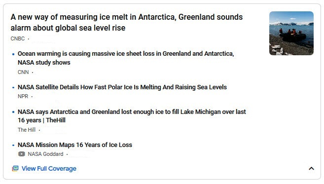
Ice Melt
- Antarctica / Arctic - Greenland
Grounded and floating ice mass change from 2003 to 2019 using NASA’s ICESat and ICESat-2 satellite laser altimetry
Satellites Let Scientists See Antarctica’s Melting Like Never Before
April 30, 2020
New data from space is providing the most precise picture yet of Antarctica’s ice, where it is accumulating most quickly and disappearing at the fastest rate, and how the changes could contribute to rising sea levels.
○
File history
Click on a date/time to view the file as it appeared at that time.
| Date/Time | Thumbnail | Dimensions | User | Comment | |
|---|---|---|---|---|---|
| current | 18:47, 1 May 2020 |  | 657 × 373 (60 KB) | Siterunner (talk | contribs) |
You cannot overwrite this file.
File usage
The following page uses this file:
