File:Earth2.png
Original file (818 × 776 pixels, file size: 915 KB, MIME type: image/png)
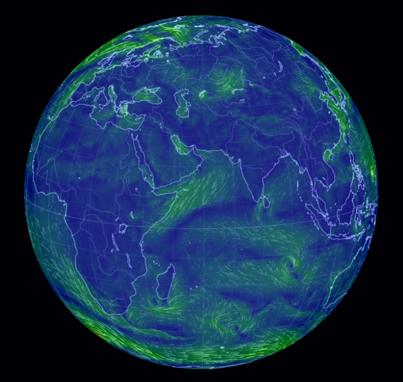
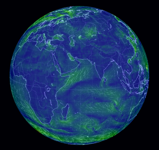
Weather -- Global Forecast System Visualized
http://en.wikipedia.org/wiki/Global_Forecast_System
http://www.slate.com/blogs/future_tense/2013/12/18/global_wind_map_cameron_baccario_s_visualization_of_world_weather_patterns.html
http://earth.nullschool.net/
User tips: Click on the “Earth” box at the map’s lower left corner. That opens up the map to a wider view. Click “Earth” again, and you’ll get a bunch of visualization options, including looking at ocean currents or viewing the winds at different atmospheric pressure layers (the view below shows surface winds, but take a look at the 500-millibar level, for instance, to see how fast the winds are moving high overhead). The line marked “control” lets you set the visualization time: click on “Now” to see conditions at the most recent update (the visualization is refreshed from new data every three hours), and click on the arrows to go back in time or forward (future views use data from forecast models).
File history
Click on a date/time to view the file as it appeared at that time.
| Date/Time | Thumbnail | Dimensions | User | Comment | |
|---|---|---|---|---|---|
| current | 18:59, 3 December 2014 | | 818 × 776 (915 KB) | Siterunner (talk | contribs) | Category:Green Graphics Weather -- Global Forecast System Visualized http://en.wikipedia.org/wiki/Global_Forecast_System http://www.slate.com/blogs/future_tense/2013/12/18/global_wind_map_cameron_baccario_s_visualization_of_world_weather_patterns.... |
You cannot overwrite this file.
File usage
The following page uses this file: