Category:Virtual Earth: Difference between revisions
Jump to navigation
Jump to search
Siterunner (talk | contribs) No edit summary |
Siterunner (talk | contribs) No edit summary |
||
| Line 1: | Line 1: | ||
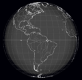
[[File:-HelloEarth.png]] | |||
* https://www.greenpolicy360.net/w/Virtual_Earth | |||
* https://www.greenpolicy360.net/w/HelloEarth | |||
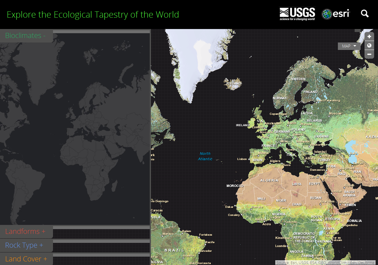
; <big><big>''Global Ecosystems Land Units Mapping''</big></big> | ; <big><big>''Global Ecosystems Land Units Mapping''</big></big> | ||
http://ecoexplorer.arcgis.com/eco/maps.html | http://ecoexplorer.arcgis.com/eco/maps.html | ||
<big><font color=green> | |||
<big><font color=green>○ ○ ○ ○ ○ ○ ○ ○ ○ ○ ○ ○ ○ ○ ○ ○ ○ ○ ○ ○</font></big> | |||
http://eros.usgs.gov/imagegallery/earth-art-2#http://eros.usgs.gov/sites/all/files/external/imagegallery/2093 | http://eros.usgs.gov/imagegallery/earth-art-2#http://eros.usgs.gov/sites/all/files/external/imagegallery/2093 | ||
[[File:EcoExplorer Maps.png]] | [[File:EcoExplorer Maps.png]] | ||
○ | |||
Revision as of 19:08, 29 January 2018
- Global Ecosystems Land Units Mapping
http://ecoexplorer.arcgis.com/eco/maps.html
○ ○ ○ ○ ○ ○ ○ ○ ○ ○ ○ ○ ○ ○ ○ ○ ○ ○ ○ ○
○
Subcategories
This category has the following 4 subcategories, out of 4 total.
E
G
W
Pages in category "Virtual Earth"
The following 12 pages are in this category, out of 12 total.
A
C
Media in category "Virtual Earth"
The following 74 files are in this category, out of 74 total.
- A window view.jpg 620 × 412; 22 KB
- April 28, 2016.png 586 × 415; 159 KB
- Aquifers earthsciencefromspace Grace CA3.png 772 × 652; 559 KB
- Aquifers global earth observations by grace20150616-16 m.jpg 800 × 450; 117 KB
- Aquifers global earth observations by grace20150616-16.jpg 1,600 × 900; 317 KB
- Aquifers globalstudy 2015.png 668 × 451; 299 KB
- Aquifers June2015 past the tipping point.png 533 × 615; 195 KB
- ArcGIS-logo.png 302 × 167; 7 KB
- AskNatureAvatar s.png 200 × 200; 14 KB
- Biden re Earth Day 2023.png 640 × 400; 155 KB
- California at the forefront of US environmental policies.png 600 × 450; 50 KB
- Carl Sagan at the Emerging Issues Forum - 1990.png 360 × 460; 192 KB
- Carl Sagan at the Emerging Issues Forum.png 747 × 600; 600 KB
- Carl Sagan, the atmosphere unifies and connects all of our world.png 360 × 390; 229 KB
- Countries globally w maps and grn newslinks.png 871 × 329; 35 KB
- Desertification map.png 1,280 × 828; 588 KB
- Dove1 image.jpg 420 × 308; 26 KB
- Earth mapped.png 800 × 783; 254 KB
- Earth Science Vital Signs, Pulse of the Planet Climate Essentials.png 692 × 441; 207 KB
- Earth Science Vital Signs, Pulse of the Planet EOS NASA 2014.png 758 × 776; 366 KB
- Earth-NASA.jpg 800 × 265; 39 KB
- Earths-Future .jpg 351 × 198; 41 KB
- Earths-Future-cover.jpg 251 × 325; 48 KB
- EarthView.png 800 × 541; 1.06 MB
- Ecoregions of the World terrestrial-wiki.jpg 800 × 400; 33 KB
- ECOTRAM - Don Perry.png 800 × 474; 390 KB
- ESRI logo.jpg 366 × 138; 10 KB
- Forests change between 2000 and 2012.jpg 676 × 932; 71 KB
- Fox on Earth Day 2023.jpg 640 × 275; 58 KB
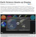
- Gateway to Astronaut Photography of Earth.png 1,024 × 409; 731 KB
- Global Climate Action Summit.png 640 × 400; 470 KB
- Global Ecosystems Land Units Mapping.jpg 660 × 515; 98 KB
- Global Forest Watch top page 2014.png 800 × 416; 350 KB
- Google Earth banner.png 800 × 222; 282 KB
- Google Earth Hello2.png 800 × 375; 863 KB
- Google Earth invite-just in time for Earth Day.jpg 395 × 336; 69 KB
- Google Earth VR - 2016.png 800 × 395; 477 KB
- Google Earth VR - 2017.jpg 635 × 479; 94 KB
- Green Wave.png 613 × 405; 427 KB
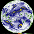
- Himawari8 water vapor via CIMSS.gif 1,400 × 1,400; 39.48 MB
- House in Tacna Peru.jpg 800 × 548; 32 KB
- Hurricane Helene in the Gulf of Mexico - M.jpeg 577 × 640; 119 KB
- Hurricane Helene in the Gulf of Mexico.jpeg 1,153 × 1,280; 359 KB
- In nature, nothing exists alone.jpg 500 × 357; 26 KB
- Isn't it time.jpg 354 × 544; 93 KB
- Landsat 50th anniv Sept 2016.jpg 800 × 456; 94 KB
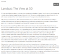
- Landsat at 50.png 800 × 713; 345 KB
- LivingEarth2.png 800 × 503; 478 KB
- Map of the World wiki commons m.png 679 × 314; 18 KB
- Map of the World wiki commons s.png 339 × 157; 13 KB
- Map of the World wiki commons.png 1,357 × 628; 19 KB
- Mapping Tree Density 1.png 700 × 671; 548 KB
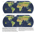
- Mapping Tree Density 2.png 700 × 626; 605 KB
- Millennium - loss-of-forest1.jpg 473 × 298; 40 KB
- NASA test mission to protect earth from asteroid - Nov 2021.png 508 × 800; 424 KB
- OCO2 Image Dec19, from earlyNov2014 NASA.jpg 980 × 551; 55 KB
- Planet and plan for an Earthdata platform.png 600 × 600; 280 KB
- Rebecca Google Outreach.jpg 276 × 183; 9 KB
- River basins - watersheds.jpg 800 × 214; 111 KB
- Space stations - July 26 2022.png 544 × 462; 270 KB
- Suomi satellite 2014.png 512 × 506; 472 KB
- TheTrueSize-1.png 1,513 × 847; 969 KB
- TheTrueSize.com 2.png 1,024 × 573; 461 KB
- Timelapse.png 800 × 566; 676 KB
- Travelling via Google Street View beyond agoraphobia.png 800 × 763; 634 KB
- UN Mapping the World.png 740 × 477; 584 KB
- Urthecast-the earth video camera.jpg 302 × 198; 15 KB
- US River basins - watersheds.jpg 800 × 477; 131 KB
- USGS Groundwater depletion map 2013.png 794 × 490; 238 KB
- Virtual Earth cover.png 800 × 479; 833 KB
- Water shortage 4B people sci report-2016.png 853 × 233; 148 KB
- Welcome to Earth View from Google.png 709 × 395; 395 KB
- Wind Power California US Tehachapi.png 802 × 445; 584 KB
- World Map - Mercator projection v Google maps.jpg 800 × 545; 101 KB
