File:USA-satellitemap.jpg: Difference between revisions
Jump to navigation
Jump to search
Siterunner (talk | contribs) mNo edit summary |
Siterunner (talk | contribs) No edit summary |
||
| (One intermediate revision by the same user not shown) | |||
| Line 1: | Line 1: | ||
<big>'''United States'''</big> | |||
| Line 17: | Line 6: | ||
[[Category:Democracy]] | |||
[[Category:Green Graphics]] | [[Category:Green Graphics]] | ||
[[Category:Maps]] | [[Category:Maps]] | ||
Latest revision as of 19:48, 13 June 2024
United States
~
File history
Click on a date/time to view the file as it appeared at that time.
| Date/Time | Thumbnail | Dimensions | User | Comment | |
|---|---|---|---|---|---|
| current | 15:18, 23 February 2016 | 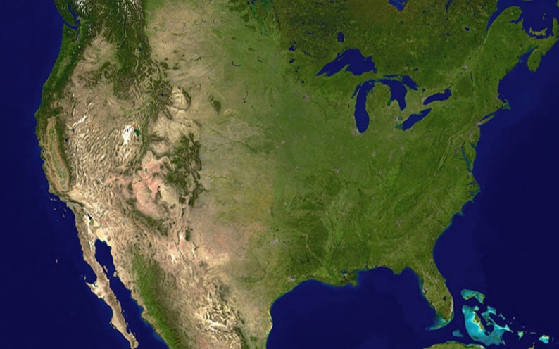 | 794 × 496 (232 KB) | Siterunner (talk | contribs) | Category:Green Graphics Category:United States Category:US |
You cannot overwrite this file.
File usage
The following 2 pages use this file: